






767
Articles published




Join thousands of students achieving their dreams with expert-led courses.
Join free and unlock everything on EasyShiksha.
Takes less than 3 seconds — no password needed
Please enter a valid email address.
Checking your email…
Almost done — just verify your number so we can send course updates and certificates.
Used only for verification & updates
Incorrect OTP. Please try again.
Takes less than 10 seconds
Please select your country.
Please select your state.


Geographical information is used in many areas of modern life, from urban development and environmental monitoring to agriculture, transportation and disaster management. Technology now makes it possible to collect, process and analyse location-based information using satellite images, digital maps, GPS and specialised computer applications.
B.Sc. Geoinformatics is an undergraduate programme that introduces students to these technologies and their applications. It combines geographical knowledge, computer-based analysis, remote sensing, cartography and Geographic Information Systems (GIS).
Students interested in geography, technology, environmental studies, mapping and data analysis may consider this programme after completing Class 12. However, the course title, eligibility requirements, duration and curriculum can differ between universities.
This guide explains what students should know before applying for a B.Sc. Geoinformatics programme.
B.Sc. Geoinformatics is an undergraduate science programme focused on collecting, managing, interpreting and analysing geographical or location-based information.
The subject brings together geography, information technology, earth sciences, mathematics and computer-based mapping techniques. Students learn how geographical data can be represented through maps, satellite images, digital databases and spatial models.
For example, geospatial information can help researchers examine changes in forest cover, identify patterns in urban expansion, study agricultural land and understand the geographical distribution of natural resources.
The programme may be offered under different titles, such as:
B.Sc. Geoinformatics
B.Sc. Geo-Informatics
B.Sc. Geospatial Technology
B.Sc. Geoinformatics (Honours)
B.Sc. Geoinformatics (Honours with Research)
Students should examine the actual curriculum rather than relying only on the programme title when comparing universities.
The programme generally introduces students to geographical concepts and the technologies used to work with spatial information.
GIS is used to collect, organise, manage, analyse and display information associated with geographical locations. Students may learn how to create digital maps, manage spatial databases and identify relationships between different geographical features.
Remote sensing involves collecting information about the Earth's surface without directly contacting the objects being studied. Satellite imagery and aerial observations are examples of remote-sensing data sources.
Students may learn about sensors, satellite images, image interpretation and the use of remotely collected information in environmental and geographical studies.
Cartography focuses on the preparation and interpretation of maps. Students may study map projections, coordinates, map symbols, scales, thematic maps and digital map production.
Students may be introduced to GPS and other satellite-based navigation systems. These technologies help identify geographical positions and support mapping, field surveys and location-based applications.
Spatial analysis examines the location, distribution and relationships of geographical features. Students may work with spatial datasets to identify patterns, compare regions and interpret geographical information.
Students who have completed Class 12 from a recognised board may be eligible to apply, subject to the university's admission requirements.
However, there is no single eligibility rule followed by every institution.
Depending on the university, applicants may be required to have studied subjects such as:
Physics
Chemistry
Mathematics
Biology
Geography
Computer Science
Statistics or other accepted subjects
Some institutions may accept students from particular science or related academic streams, while others may specify minimum marks or subject combinations.
For example, published university requirements differ: one institution may accept a wider range of Class 12 subjects, while another may require a science background. Students should therefore check the current admission notice and eligibility conditions of their preferred university.
The duration depends on the university and the structure of the undergraduate programme.
Common formats include:
Three-year undergraduate degree programmes.
Four-year undergraduate programmes.
Four-year honours or honours-with-research formats, where offered.
Some universities follow a flexible undergraduate structure with multiple entry and exit provisions under their applicable academic framework.
For instance, published programme information from Amity University describes a three-year B.Sc. Geo-Informatics option and a four-year honours pathway. Islamic University of Science and Technology lists a four-year undergraduate programme in Geospatial Technology.
These are examples of institutional structures, not universal duration rules. Always verify the current programme regulations before applying.
The syllabus combines theoretical concepts with practical work. The exact subjects and semester sequence vary by university.
Students may study the Earth's physical systems, geographical features, climate, landforms and environmental processes. These subjects provide a foundation for understanding the geographical information used in later technical modules.
This area introduces the principles of remote sensing, satellite data, sensor characteristics and image interpretation. Students may learn how different types of remotely collected data represent features on the Earth's surface.
Students may explore GIS concepts, spatial data structures, database management and digital mapping workflows. Practical assignments can involve organising geographical information and preparing map outputs.
Cartography covers map design and representation, while photogrammetry involves obtaining measurements and information from photographs or imagery. The subjects may include coordinate systems, map projections and image interpretation.
This subject introduces techniques used to process and interpret digital images. Depending on the curriculum, students may learn image enhancement, classification and the preparation of satellite-image datasets.
Students may study spatial relationships, geographic patterns, geostatistics and methods for interpreting spatial datasets. Some programmes also introduce programming, artificial intelligence or data analytics.
Practical learning is an important part of geoinformatics education. Students may work on digital maps, GIS exercises, remote-sensing datasets, field observations and project reports.
A university's published curriculum should be reviewed carefully to understand how much practical work, field exposure and project training the programme includes.
B.Sc. Geoinformatics can help students develop a combination of geographical, technical and analytical skills.
Important areas may include:
Digital mapping and map interpretation.
GIS software and spatial database handling.
Understanding satellite imagery.
Remote-sensing data interpretation.
Geographic research and field data collection.
Spatial analysis and problem-solving.
Data organisation and visualisation.
Report writing and technical communication.
The level of proficiency students develop depends on the curriculum, practical exposure, software access and individual project experience.
Universities may use merit-based admission, entrance examinations, interviews or a combination of selection methods. Students should follow the process published by their chosen institution.
Identify universities offering B.Sc. Geoinformatics, B.Sc. Geo-Informatics or a related undergraduate programme.
Compare the programme title, university, academic level, learning mode and curriculum. Students can use EasyShiksha as a University Programme Discovery & Comparison Platform to explore available academic options and compare relevant programme information.
Read the current admission notification carefully. Confirm the accepted Class 12 subjects, minimum marks, recognised board requirements and any additional conditions.
Do not assume that eligibility at one university automatically applies to another.
Check whether admission is based on Class 12 marks, an entrance examination, an interview or another selection procedure.
For example, IUST lists CUET and a university entrance examination as selection routes for its Geospatial Technology programme. Other institutions may follow different procedures.
Visit the university's official admission portal and complete the application form using accurate personal and academic information.
Check the programme name, selected campus and admission session before submitting the application.
Universities may request documents such as:
Class 10 marksheet or certificate.
Class 12 marksheet or certificate.
Recent photograph.
Identity proof.
Transfer or migration certificate, where applicable.
Category or reservation certificate, where applicable.
The final document list should be confirmed through the university's admission instructions.
If the institution requires an entrance examination or interview, follow the announced schedule and instructions. Keep the application details and relevant documents available.
Review the university's merit list, entrance result or admission decision through its official portal. Follow the instructions provided to shortlisted applicants.
After selection, complete document verification and the remaining admission formalities within the announced deadline. Obtain confirmation of enrolment from the institution.
Graduates may explore opportunities in organisations and projects that use mapping, geographical information, remote sensing and spatial data.
The roles available depend on practical skills, experience, additional training and employer requirements. Some specialised positions may require postgraduate qualifications.
GIS analysts work with geographical datasets to create maps, organise spatial information and examine location-based patterns. Their work may support infrastructure planning, environmental studies and other mapping projects.
Remote sensing analysts work with satellite or aerial imagery to interpret information about the Earth's surface. Their responsibilities may include image processing, classification and geographical change analysis.
Cartographers prepare and maintain maps for different purposes. They may work with geographical datasets, map layouts, coordinate systems and digital mapping tools.
Geospatial data technicians may assist with collecting, organising, checking and updating geographical datasets. Accuracy and attention to detail are important in this area.
Graduates with suitable practical training may explore support roles related to mapping, field data collection and geographical surveys. Specific surveying responsibilities can require additional qualifications or technical credentials.
Geospatial information is used in environmental assessment, land-use studies, urban planning and natural resource management. Graduates may contribute through mapping, data preparation and spatial analysis, depending on the role's requirements.
Geoinformatics is relevant to several sectors where location-based information supports research, planning or operational decisions.
Digital maps and spatial datasets can support studies of roads, buildings, land use, transport networks and public infrastructure.
Geospatial technologies can help represent agricultural land, monitor crop conditions and study soil or water-related information. Their use depends on the available data and the purpose of the agricultural project.
Remote sensing and GIS can support the study of forests, water bodies, vegetation, land-use changes and other environmental features.
Geographical information can help represent hazard-prone areas, infrastructure, evacuation routes and affected locations during disaster-related planning.
Geospatial methods may be used to study land, water, forests and other natural resources through mapping and spatial analysis.
Students interested in advanced study may consider postgraduate programmes related to geoinformatics and other connected disciplines.
Possible pathways include:
M.Sc. Geoinformatics.
M.Sc. Remote Sensing and GIS.
M.Sc. Geography.
M.Sc. Geospatial Technology.
M.Tech. Geoinformatics, where the applicant meets the prescribed eligibility requirements.
Postgraduate programmes in environmental science or related areas.
Admission requirements for postgraduate programmes differ. Some may require a specific undergraduate subject, while others accept degrees from a wider range of related disciplines.
Students interested in research may also explore research-oriented postgraduate pathways before considering doctoral study.
The programme title alone should not determine a student's choice. A careful comparison of academic and practical features can help identify a suitable institution.
Consider the following factors:
Programme curriculum: Review whether the syllabus covers GIS, remote sensing, cartography, spatial analysis, digital image processing and related subjects.
Practical facilities: Check the availability of GIS laboratories, software access, fieldwork and project-based learning.
Faculty and academic support: Explore the department's academic background, teaching structure and student support.
Programme duration: Confirm whether the degree follows a three-year or four-year structure and understand any available academic exit options.
Eligibility and selection: Verify the accepted Class 12 subjects, marks requirements and admission method.
Further-study opportunities: Consider whether the programme provides a suitable foundation for the postgraduate subject you may want to pursue.
Students can also explore EasyShiksha's Science programmes, Geography specialisation and Environmental Science programmes to discover related academic areas.
B.Sc. Geoinformatics is an interdisciplinary undergraduate programme for students interested in geography, mapping, remote sensing, GIS and location-based data analysis. It connects geographical concepts with digital technologies used to study the Earth's surface and understand spatial relationships.
Before applying, students should compare the curriculum, eligibility criteria, duration, practical facilities and admission process of different universities. They should also consider whether the programme provides the technical and academic foundation needed for their intended career or higher studies.
Choosing a programme after reviewing these factors can help students make a more informed decision about studying geoinformatics.
B.Sc. Geoinformatics is an undergraduate programme that studies geographical information using GIS, remote sensing, digital mapping, spatial analysis and related technologies. It combines geographical concepts with computer-based tools.
Yes, students who have completed Class 12 may be eligible, depending on the university's subject requirements, minimum marks and admission rules. Some institutions specify particular science or related subjects.
The duration varies by institution. Some universities offer three-year programmes, while others provide four-year undergraduate or honours pathways. Students should check the current programme structure before applying.
Common subject areas include GIS, remote sensing, cartography, GPS, spatial data analysis, digital image processing, geography and geospatial database management. The exact syllabus differs between universities.
Mathematics requirements vary. Some universities accept applicants with different subject combinations, while others specify particular Class 12 subjects. Students should consult the eligibility criteria of each institution.
Many programmes include GIS exercises, digital mapping, image interpretation, field activities and project work. The amount and format of practical training depend on the university's curriculum and facilities.
Graduates may explore roles such as GIS analyst, remote sensing analyst, cartography professional, geospatial data technician and mapping support professional. Specific roles may require additional technical skills or qualifications.
Yes, students may consider postgraduate programmes in Geoinformatics, Remote Sensing and GIS, Geography or related subjects, subject to the admission requirements of the university.
No. Geography is a broader discipline that studies physical and human aspects of places and environments. Geoinformatics focuses more directly on the technologies and methods used to collect, manage and analyse geographical information.
Compare the syllabus, eligibility, course duration, selection method, practical facilities, faculty support and higher-study options. Always confirm the latest programme information through the university's official admission portal.
More News Click here










Discover thousands of colleges and courses, enhance skills with online courses and internships, explore career alternatives, and stay updated with the latest educational news..

Gain high-quality, filtered student leads, prominent homepage ads, top search ranking, and a separate website. Let us actively enhance your brand awareness.
Download EasyShiksha Mobile Apps from Android Play Store, Apple App Store, Amazon App Store, and Jio STB.
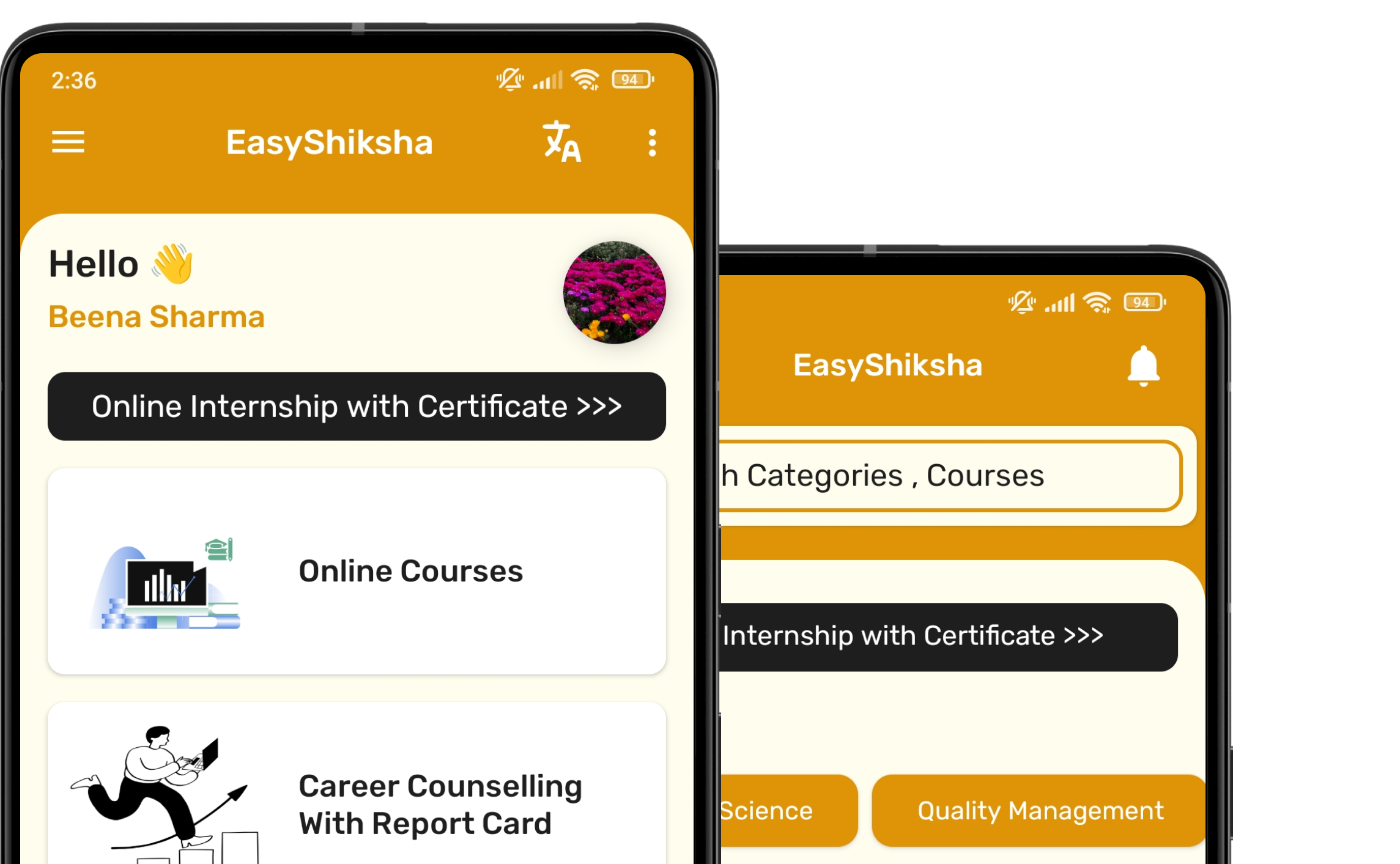


1 million+ learned on the EasyShiksha App
Trusted by Standards & Global Compliance Frameworks





Built under internationally recognized standards for quality, information security, educational excellence and business continuity.
ISO 9001:2015 | ISO/IEC 27001:2022 | ISO 21001:2018 | ISO 22301:2019 | DPIIT Recognized Startup | MSME Registered