










Join thousands of students achieving their dreams with expert-led courses.
Join free and unlock everything on EasyShiksha.
Takes less than 3 seconds — no password needed
Please enter a valid email address.
Checking your email…
Almost done — just verify your number so we can send course updates and certificates.
Used only for verification & updates
Incorrect OTP. Please try again.
Takes less than 10 seconds
Please select your country.
Please select your state.

Environmental challenges such as air pollution, water contamination, biodiversity loss, waste generation and climate change require reliable information and practical solutions. Environmental Science brings together knowledge from biology, chemistry, geography, geology and other disciplines to study natural systems and understand how human activities affect them.
Students in this field can learn to collect environmental data, interpret scientific observations, evaluate potential impacts and communicate findings clearly. These abilities are useful in conservation, environmental monitoring, sustainability initiatives, research and environmental management.
Practical experience is particularly valuable. Projects involving local waste audits, water-quality observations, biodiversity surveys or geographic information systems (GIS) can help students connect scientific concepts with real-world situations.
Learners can explore available programmes through EasyShiksha's Environmental Science specialisation directory and compare courses according to their academic interests.
Environmental Science is an interdisciplinary field concerned with the natural environment and the relationships between ecological, physical and human systems. It examines how environmental processes work, how human activities influence them and how evidence can support better environmental decisions.
Depending on the programme, students may study ecology, environmental chemistry, biodiversity, pollution, climate science, conservation, natural resource management and environmental policy.
Some programmes also introduce practical areas such as environmental impact assessment, GIS, remote sensing, laboratory analysis, waste management and environmental monitoring.
The subject combines several important approaches:
Scientific investigation: Observing environmental conditions and developing research questions.
Fieldwork: Collecting information about ecosystems, habitats, soil, water or other environmental features.
Laboratory analysis: Examining samples using appropriate methods and equipment when laboratory facilities are available.
Spatial analysis: Using maps and geographic data to understand the distribution of environmental features.
Data interpretation: Identifying patterns, uncertainty and limitations in observations.
Environmental management: Evaluating possible ways to reduce environmental harm and manage resources responsibly.
The curriculum, fieldwork opportunities and laboratory requirements vary by institution and qualification.
Environmental research begins with a clear question and a method for investigating it. Students should learn to define objectives, select suitable observations, record information accurately and explain how conclusions follow from the available evidence.
For example, a study of litter around a public area should identify the locations surveyed, the time period, the categories of waste recorded and any limitations affecting the results.
Environmental projects may produce measurements, counts, survey responses, photographs or spatial data. Organising these observations helps researchers identify patterns and communicate findings.
Students can begin with spreadsheets to calculate totals, percentages, averages and changes over time. More advanced projects may use statistical software or programming, depending on the course.
A useful principle is to distinguish observed data from estimates and interpretations. A graph can summarise information, but it cannot establish a cause unless the study design supports that conclusion.
GIS tools allow users to organise, analyse and visualise information connected to geographic locations. They can help environmental researchers map land use, habitats, waste collection points, water resources and other spatial features.
Students can practise creating simple maps, adding geographic layers and identifying spatial patterns. Remote sensing may also be introduced in programmes that cover satellite imagery or aerial observations.
GIS is a useful complementary skill, but the tools and technical depth required depend on the intended role.
Environmental findings often need to be explained to researchers, organisations, communities or decision-makers. A good report describes the research question, methods, observations, limitations and recommendations.
Students should also learn to present technical information in accessible language without exaggerating the significance of the results.
Fieldwork requires attention to personal safety, privacy, permissions and the protection of ecosystems. Students should avoid disturbing wildlife, entering restricted locations or collecting samples without appropriate authorisation.
Research should follow relevant institutional procedures and applicable environmental rules. Where specialised equipment or hazardous samples are involved, trained supervision and appropriate protective measures are essential.
Projects help students demonstrate how they apply scientific methods. The following ideas can be adapted to school, undergraduate or postgraduate study, depending on the available equipment, supervision and research requirements.
Objective: Understand the types and quantities of waste generated in a selected area.
Choose a permitted location, such as a campus or community space, and define a consistent observation period. Record visible waste by category without handling hazardous or contaminated materials.
Your report can include:
The location and duration of the audit.
Categories used to classify waste.
Counts or weights, where safe measurement is possible.
Patterns observed across locations or time periods.
Possible improvements to waste segregation and disposal.
Present the results using a simple table or chart. Explain that the findings describe the area and period surveyed rather than representing an entire city or population.
Skills developed: Data collection, classification, analysis and report writing.
Objective: Investigate selected indicators of water quality using appropriate methods.
With permission and suitable supervision, choose an accessible water source and identify which indicators can be measured reliably. Depending on the available equipment, a project may examine temperature, pH, turbidity or other suitable parameters.
Record the date, location, method and instrument used. Compare observations with appropriate published standards or reference values where relevant, and explain the limitations of the measurements.
Do not drink sampled water or declare it safe based on a small number of basic tests. Determining potability or contamination may require specialised laboratory testing and professional interpretation.
Skills developed: Scientific observation, measurement, documentation and cautious interpretation.
Objective: Record selected plants, birds, insects or other observable organisms in a defined area.
Establish a consistent survey method, such as observing specified locations for a fixed duration. Record the date, weather conditions, habitat features and identification confidence.
Students can create a checklist or spreadsheet and use verified identification resources. Avoid disturbing organisms or collecting specimens without permission.
The final report may compare observations between habitats or locations, while acknowledging that detection varies with season, weather and survey effort.
Skills developed: Field observation, species documentation, ecological awareness and data organisation.
Objective: Visualise changes or patterns in land use within a selected area.
Use an appropriate GIS tool and legally accessible geographic data. Identify the study boundary, time period and land-use categories, then prepare a map showing the available information.
A stronger project might compare two dated datasets to examine changes in built-up areas, vegetation or other mapped features. Make sure the datasets are comparable and explain differences in resolution, classification or coverage.
Do not claim that a map proves the cause of a change. Additional evidence is needed to establish why it occurred.
Skills developed: Spatial data management, mapping, interpretation and visual communication.
Objective: Identify opportunities to reduce resource use in a building or institution.
With appropriate permission, review available records or observe selected practices related to electricity, water or material consumption. Document the study period and data sources.
Prepare recommendations such as improving lighting practices, identifying avoidable water waste or reviewing resource-use procedures. Where possible, estimate potential savings using transparent assumptions.
Separate measured consumption from projected savings, and avoid making claims about cost reductions without adequate data.
Skills developed: Resource management, quantitative reasoning, sustainability planning and recommendation writing.
Objective: Understand awareness of a selected environmental issue and explore possible educational responses.
Develop a short, neutral questionnaire about topics such as waste segregation, water conservation or local environmental concerns. Obtain any required permissions and informed consent, protect participants' privacy and avoid collecting unnecessary personal information.
Summarise responses without overstating what a small or non-representative sample can tell you. Based on the findings, design an educational poster, information sheet or awareness session and explain how its effectiveness could be evaluated.
Skills developed: Survey design, communication, ethical research and community engagement.
Digital tools can make environmental information easier to collect, organise and interpret. The appropriate tool depends on the research question, data quality and technical requirements.
| Tool or method | Possible environmental application |
|---|---|
| Spreadsheets | Organising observations, calculating summaries and preparing charts |
| GIS software | Mapping habitats, land use and environmental features |
| Remote sensing | Analysing suitable satellite or aerial imagery |
| Statistical tools | Examining patterns and uncertainty in environmental data |
| Digital field forms | Recording observations consistently |
| Data visualisation | Presenting findings through charts, maps and dashboards |
Students should choose tools because they support a research objective, not simply because they are available. Data quality, documentation and appropriate interpretation remain essential regardless of the software used.
Career options depend on the qualification, practical experience, location and requirements of individual employers. Some technical, research and regulatory roles may require postgraduate education, specialised training or professional eligibility.
Environmental scientists investigate environmental conditions and may conduct field studies, analyse data, contribute to research or prepare technical reports.
Environmental consultants support organisations with environmental assessments, monitoring, management plans and compliance-related work, depending on their expertise and role.
Environmental analysts work with information about areas such as water, air, soil, ecosystems or environmental performance. Their work may involve data interpretation, reporting and the identification of trends.
Conservation-related roles can involve habitat surveys, biodiversity monitoring, restoration projects, ecological documentation and support for conservation programmes.
Organisations may recruit people to support sustainability initiatives, resource-efficiency projects, waste management, environmental reporting or environmental performance monitoring.
Students with suitable spatial-analysis skills may explore roles involving geographic data, mapping, environmental monitoring and related technical support. More specialised positions may require substantial GIS experience or additional qualifications.
Research organisations, universities, laboratories and environmental organisations may offer opportunities in research assistance, project coordination, education or outreach. Eligibility depends on the specific position and required expertise.
These are potential career directions rather than guaranteed outcomes. Students should review job descriptions to understand which technical skills, qualifications and experience are requested.
Choosing a suitable programme requires more than comparing course titles. Review the learning outcomes and confirm what students will actually study and practise.
Look for subjects aligned with your interests, such as ecology, environmental chemistry, conservation, climate science, pollution monitoring, GIS or environmental management.
Find out whether field visits, laboratory exercises, research projects or internships are included. Ask about facilities and supervision where practical training is important to your goals.
Confirm the institution's status and the recognition applicable to the specific programme. Check eligibility requirements, duration, learning mode, assessment methods and any required previous subjects.
If you want to develop GIS or environmental data skills, check whether the course includes practical exercises and which tools or methods are taught. Do not assume that every Environmental Science programme provides the same technical training.
Consider tuition fees, additional costs for fieldwork or equipment, learning resources and the further qualifications needed for your intended role.
Explore Environmental Science programmes on EasyShiksha and compare them with other subjects in the EasyShiksha university programmes directory.
Depending on your previous qualification and eligibility, further study may be available in areas such as:
Environmental Science and Environmental Management.
Ecology and Biodiversity Conservation.
Climate Science and related research.
Environmental Chemistry.
GIS and Remote Sensing.
Natural Resource Management.
Sustainability and Environmental Policy.
Environmental Engineering, where the required engineering prerequisites are met.
Some pathways are science-intensive, while others focus more on policy, management or spatial analysis. Review the entry requirements carefully, particularly for laboratory-based, engineering or research programmes.
Environmental Science is an interdisciplinary field that studies natural systems, environmental conditions and the effects of human activities. It uses scientific methods to investigate environmental problems and support informed decisions.
Useful skills include scientific observation, research design, data analysis, report writing, fieldwork, environmental awareness and, where relevant, GIS and laboratory techniques.
Students can undertake waste audits, biodiversity surveys, supervised water-quality observations, GIS mapping, resource audits and environmental awareness studies. Projects should use appropriate methods and acknowledge limitations.
GIS is useful for many spatial and environmental applications, but it is not equally central to every role or programme. Students interested in mapping, remote sensing or spatial analysis may benefit from developing practical GIS skills.
Potential pathways include environmental analysis, consulting support, conservation, sustainability, research assistance, environmental monitoring and GIS-related work. Requirements vary by position and employer.
Yes, subject to programme eligibility and research requirements. Further study may help students develop specialised knowledge and research methods for academic, scientific or technical roles.
Compare the curriculum, practical training, institution recognition, eligibility, fees and relevance to your career goals. Verify the programme details directly with the institution before applying.
Environmental Science combines scientific knowledge with practical methods for investigating environmental conditions and evaluating possible solutions. Students can strengthen their understanding through field observations, data analysis, biodiversity surveys, resource audits and GIS-based projects.
A strong learning portfolio should show not only the results of a project but also the methods used, the quality of the evidence and the limitations of the conclusions. By choosing a programme that fits their interests and building practical research skills, students can prepare for further study and a range of environmental career pathways.
More News Click here








Discover thousands of colleges and courses, enhance skills with online courses and internships, explore career alternatives, and stay updated with the latest educational news..

Gain high-quality, filtered student leads, prominent homepage ads, top search ranking, and a separate website. Let us actively enhance your brand awareness.
Download EasyShiksha Mobile Apps from Android Play Store, Apple App Store, Amazon App Store, and Jio STB.
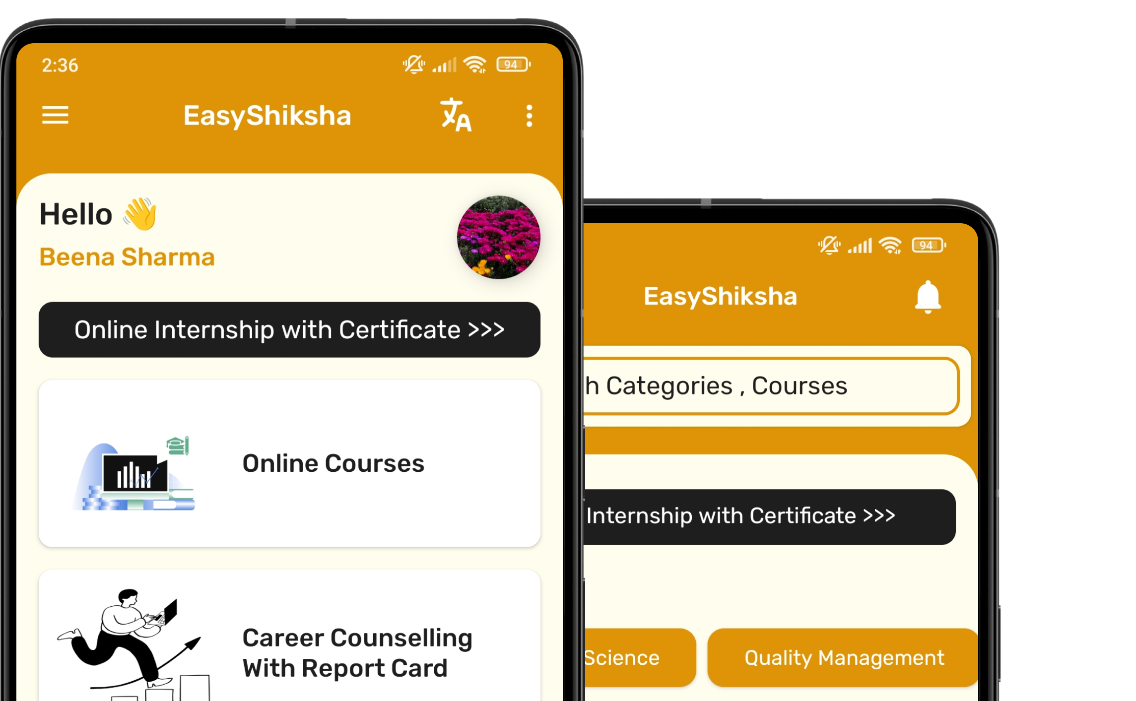


1 million+ learned on the EasyShiksha App
Trusted by Standards & Global Compliance Frameworks




Built under internationally recognized standards for quality, information security, educational excellence and business continuity.
ISO 9001:2015 | ISO/IEC 27001:2022 | ISO 21001:2018 | ISO 22301:2019 | DPIIT Recognized Startup | MSME Registered